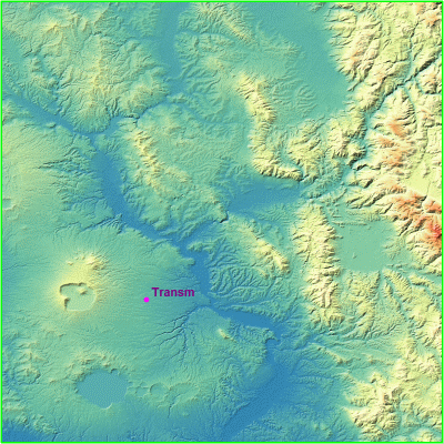
Create some contour map or load the relief.
Insert or import 1 point at least with elevation value.
Click on map to see larger image.
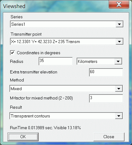
Choose Objects | Viewshed... menu command to create the viewshed.
Edit the options in that dialog and click the OK button.
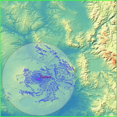
Double-click on Viewshed drawing tree group to change the colors. Right-click on that group and choose the Set transparent level to adjust transparent value.