2D - 4D CONTOUR MAPS
|
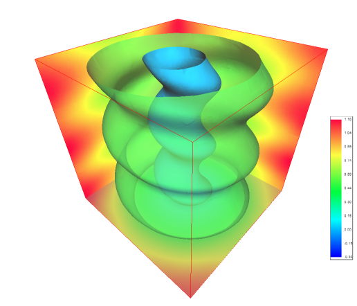
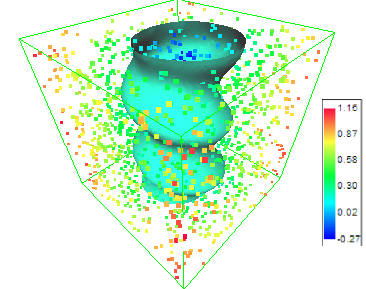
3DFieldPro is a contouring plotting and 4D-3D data program. It converts your data into contour maps, surface or volume plots. 3DFieldPro allows to create the contours (isolines) on surface and isosurfaces in volume from regular data set or scattered points. All aspects of 2D or 3D maps can be customized to produce exactly the presentation you want.Create isosurfaces from 4D scattered points 5 3D interpolation methods:
- RBF (Radial Basis Functions);
|
Choose the FILE | OPEN command to load: |
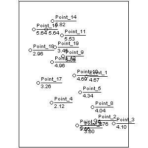
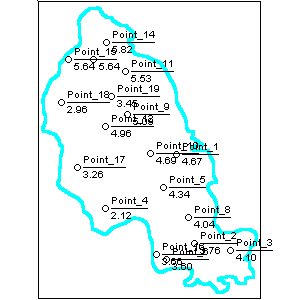
- scattered (X,Y,Z) data points
|
Choose the FILE | OPEN 2D/3D DATA command to load 2D/3D matrix data |
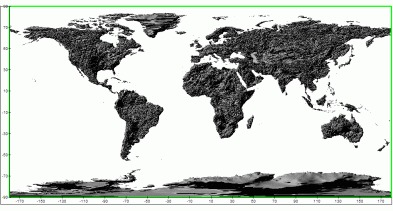
Choose the FILE | IMPORT GPS DATA command to load data (waypoints, tracks, routes and links) from GPS files: |
Cetus for Palm/OS;
|
Magellan NAV Companion for Palm/OS;
|
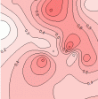
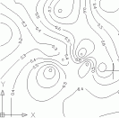
Result maps: |
 - black and white contour map;
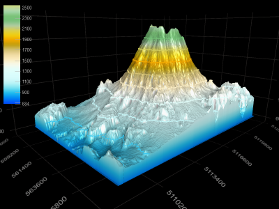
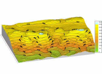
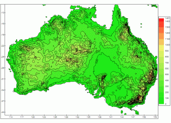
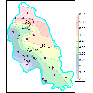
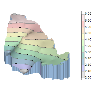
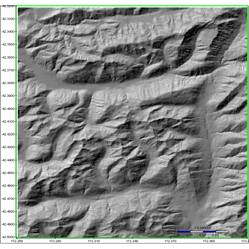
- color fill contour map; - color cells map; - color points map; - Direchlet color tesselations map; - Delauney triangles map; - color and monotone relief map; - circle values map; - color polygons map; - pie map; - slope map; - various data visualization charts; - 3D view relief contour maps; - graph maps; - rotated images; - OpenGL 3D map with contours and textures. - Gadget view 3D map with contours. |
Export: |
|||||||||||||||||||||||||||||||||||||||||||||||||||
|
|||||||||||||||||||||||||||||||||||||||||||||||||||
